

Growing concern over more power outages
If the last storm taught us anything, it is to expect the unexpected - even a winter storm in April. The Albany and surrounding areas could see 'significant' snow as a slow moving storm makes its way from the Midwest to the Capital Region.
Heavy rain is expected to impact the area on Tuesday evening, then a changeover to snow is expected in most of the area. Snow will likely last through the day Wednesday and into Thursday morning.
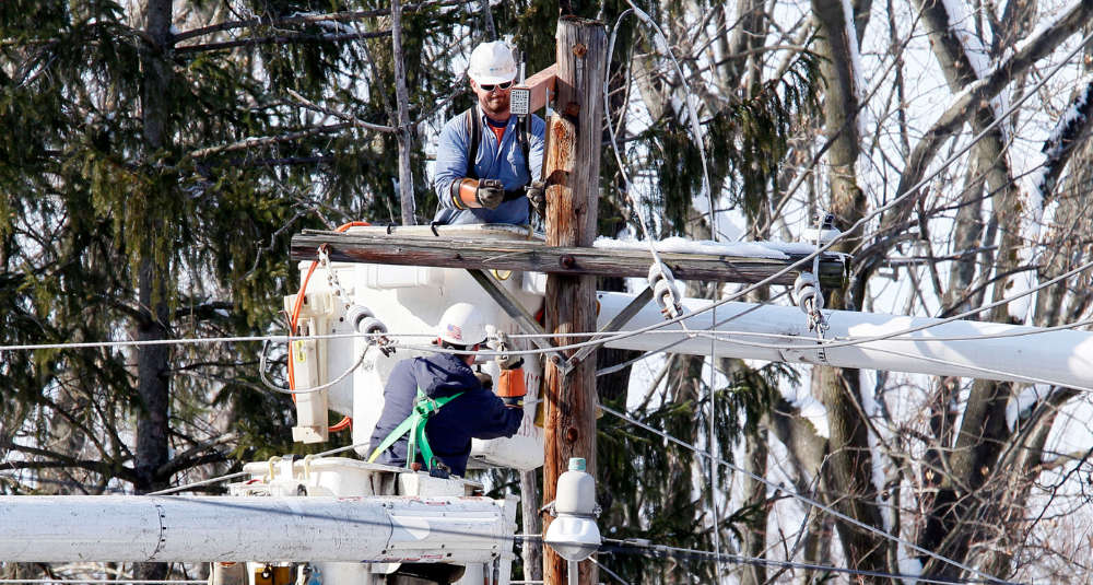
As with the last storm, the wet snow falling on limbs and branches brings the likely risk of more power outages throughout the area. There are still many variables as the storm approaches, no watches or warnings have been issued as of yet.
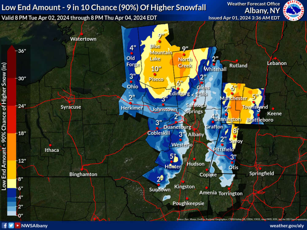
Below are two probability maps issued by the National Weather Service. The first shows the low-end predictions of snowfall, followed by the second map showing the high end. If we wind up on the high end, some areas may see well over a foot.

 Albany Parade Day: Road Closures, Parking Restrictions, and What to Know
 TRAFFIC ALERT: Tractor Trailer Rollover on the Northway
 Dash Cam Video Catches High Speed Chase on the Northway
 Major Flooding Shuts Down Popular Downtown Albany Restaurant
 Siena Wins MAAC Title, Going Dancing