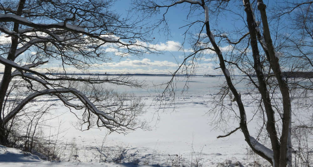

An Extreme Cold Watch is in effect for much of New York this weekend.
Don't get too used to high temperatures in the mid-20's, a reinforcement of cold air is coming to the North Country.
A cold front will bring about a quick round of snow showers, which could accumulate to an inch or two. Winds will start to come from the northwest on Saturday, as Friday night's in the low teens will only reach the mid teens by Saturday afternoon.
By Saturday overnight, the temperatures will be between in the teens below zero. Sunday night will be just as cold before temperatures begin to moderate into the 20's for highs by mid-week. An Extreme Cold Watch is in effect for much of Upstate New York, starting Saturday night at 7pm and lasting into Sunday and Monday. The watch notes wind chills could be as low as 20 and 30 below zero.
The watch urges anyone who needs to be outside to dress in layers, including a hat, face mask, and gloves. Water pipes should be wrapped or given a slow drip to prevent them from freezing. And pets should be kept inside as much as possible, only brought outdoors when absolute necessary.
Temperatures have been below freezing for over two weeks, dating back to January 22nd when the high temperature in Glens Falls reached 37.
 Over 60 People Stuck on Gore Mountain Gondola
 $50,000 Powerball Winner Sold in Queensbury
 Olivia Newton-John Tribute
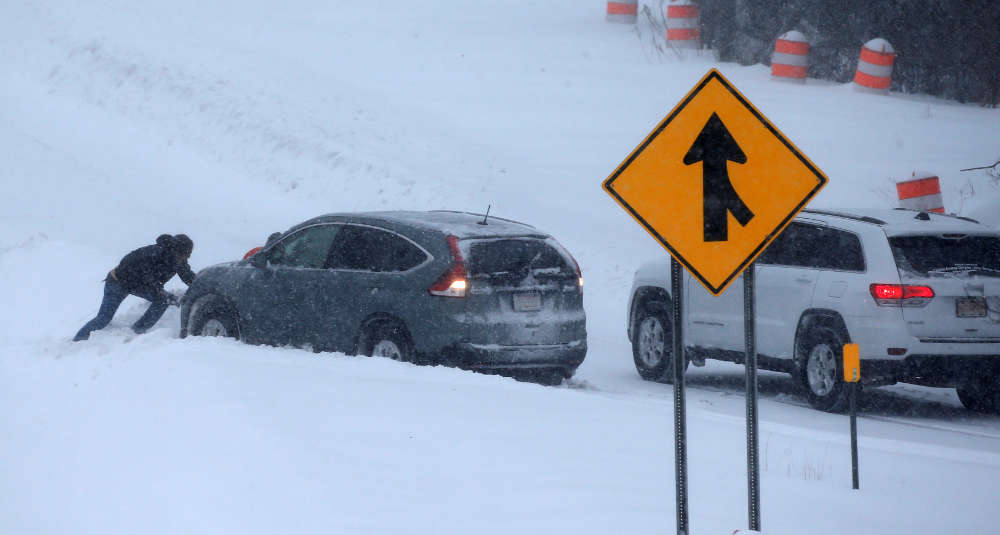 Winter Storm Slams Capital Region
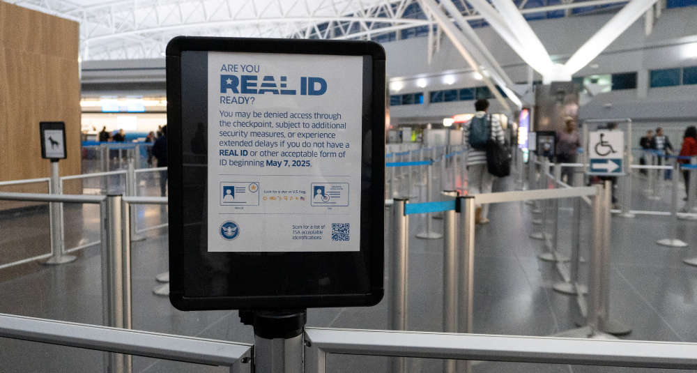 No REAL ID? TSA May Charge $45 Fee at Airports